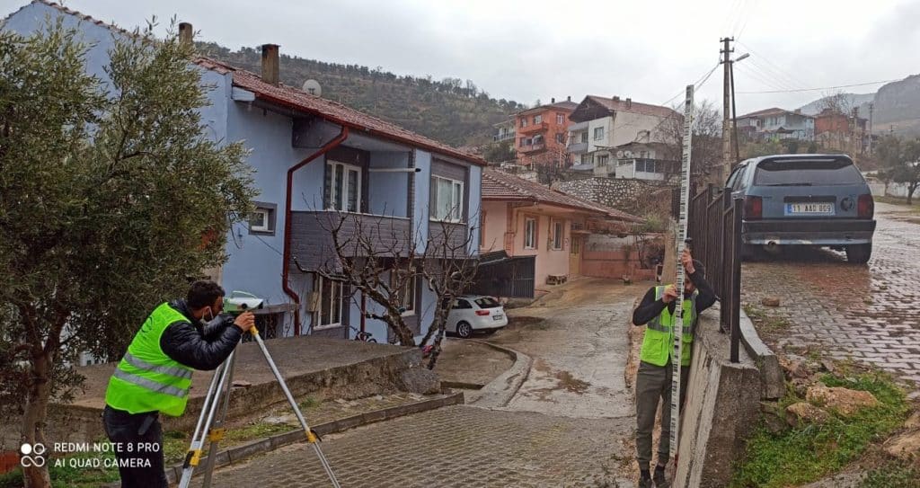
Digital base maps are maps that show the current status of a region and its topographic, physical and structural features in a detailed manner in a digital environment. Such maps are produced in accordance with the Large Scale Map and Map Information Production Regulation (BÖHHBÜY).
Digital base maps are used as the basic data source in areas such as urban planning, engineering, infrastructure and superstructure projects. Base maps are produced in accordance with national standards. Base maps are produced using terrestrial, lidar and photogrammetric methods.