Bathymetry is the study of the topography of the bottoms of water areas such as oceans, seas, lakes, streams, and rivers that have sufficient water masses.
Bathymetry measurements are a measurement method included in hydrographic measurements.
The purpose of hydrography is to map the underwater topography. It deals with the entire information chain from collecting data underwater to making maps.
The question that hydrography measurements can answer can be defined as "What does the bottom of the sea and water areas look like and what is in it?"
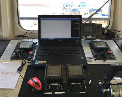
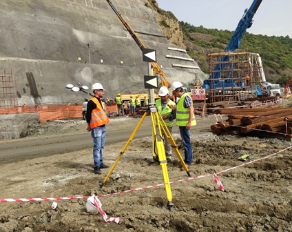
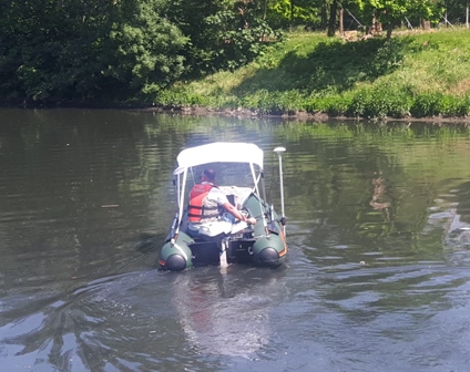
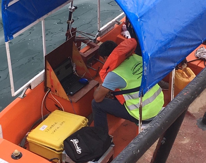
Marine vehicle positioning systems may vary depending on the project and the sensitivity of the work, but generally two GNSS antennas suitable for working in marine conditions, an IMU system and navigation computer software may be preferred.
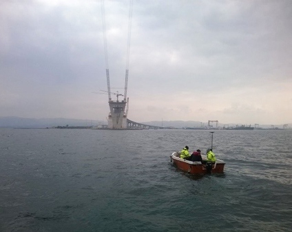
With today's technologies, the most accurate method to view and precisely locate submerged objects and vehicles in sea and water areas is hydrographic measurements. Depending on the size of the object, depth, and width of the area to be measured, devices such as multibeam echosounder, side scan sonar, imaging sonar can be used.
In dredging and filling works in sea and other water areas, control of reaching the desired depth is provided by bathymetry measurements. High precision cubage calculations are provided with intermediate bathymetry to be made while excavation or filling operations are continuing in areas where the first bathymetry was made before the project.

We produce solutions for you when you have employment problems for your seasonal, short-term or project-based jobs and have difficulty finding experienced personnel in the market.
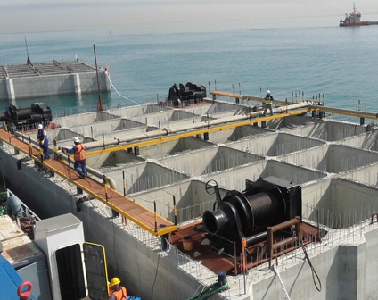
We provide services with our experienced staff and wide equipment pool for your dredging, filling, pipeline, port, pile, fortification etc. works planned to be carried out in areas such as sea, lake, stream, river etc.