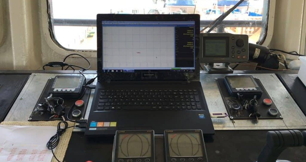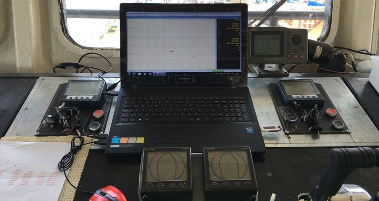
Marine Vehicle Positioning Systems
Marine vehicle positioning systems may vary depending on the project and the sensitivity of the work, and generally; 2 GNSS antennas suitable for working in marine conditions, IMU system, navigation computer software can be preferred. It is very important for the person controlling the vehicle to know instantly where and at what height marine vehicles such as barges, tug boats, scanning vehicles used in marine construction projects operate in the project area.
In particular, precise knowledge of which area the dredging equipment is digging can be achieved through positioning systems. Having these systems ready to use at any time will also save time for tug boats and other auxiliary marine vehicles that can be used for jobs requiring coordinated location information, such as buoy throwing.