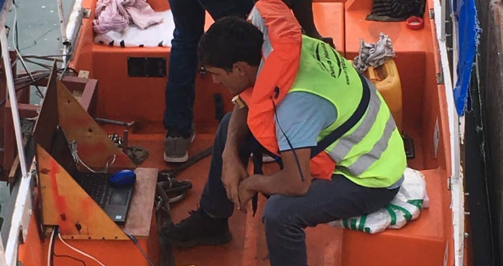
Hydrographic surveys include geodetic and oceanographic surveys conducted in water-covered environments. Two important components of geodetic surveys are position and depth surveys.
‘Bathymetry’, one of the hydrographic measurements, is a measurement method that includes depth and location information for determining underwater topography.
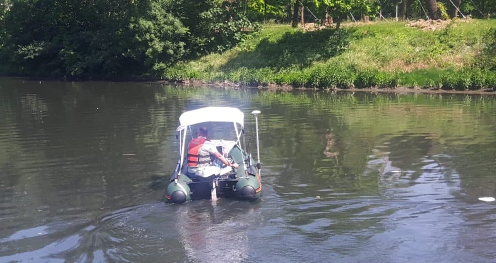
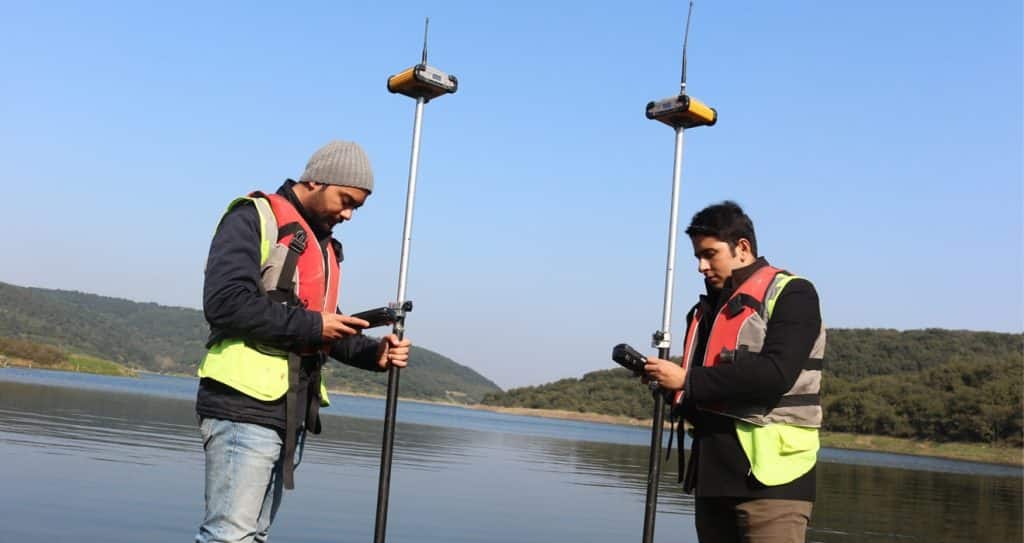
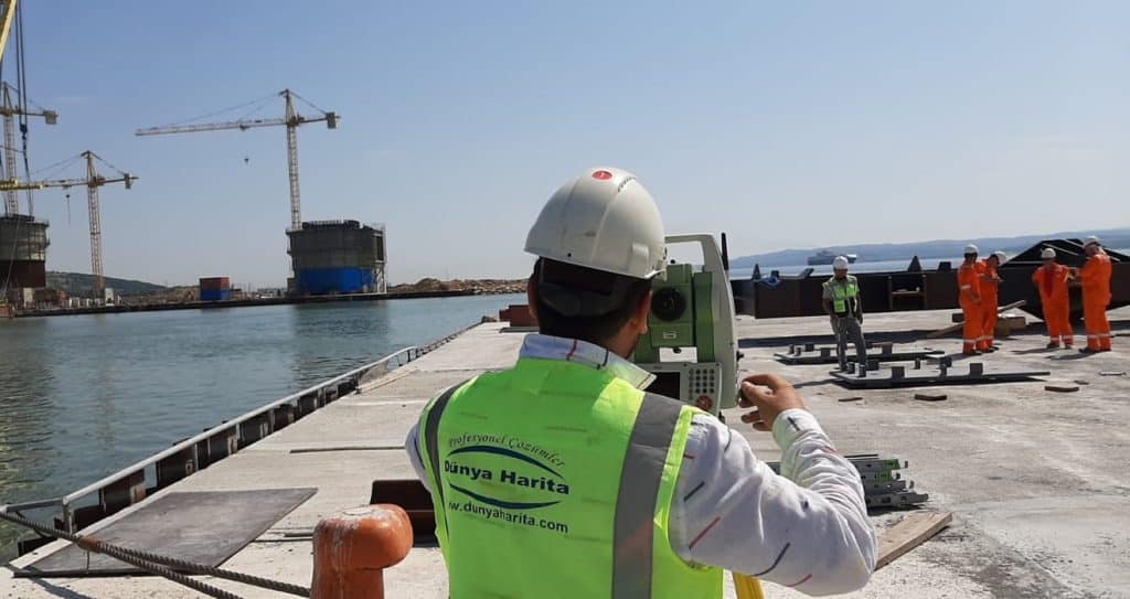
Bathymetric measurements are generally made with two different measurement methods in today’s technology: multibeam and singlebeam. In general, RTK measurement method is preferred due to the high location precision in marine measurements.
Areas of Use of Bathymetry and Marine Structure Measurements
Port and Marina Constructions
Water Areas Reclamation Works
Underwater Pipelines
Sunken Vehicle and Exploration Studies
Dredging and Filling Projects
Control in Marine Structures
Deformation
Bathymetry and Marine Structures Measurement Projects